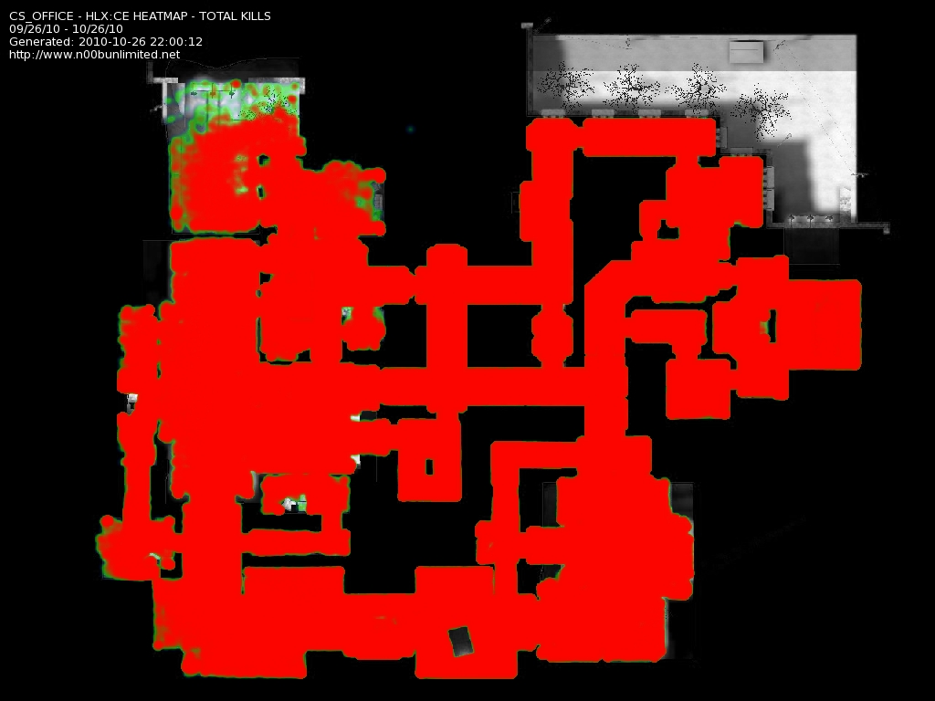
Can this be configured for custom maps so long as they have radars? (Like some versions of Office Unlimited for example.)
[img]http://unix.org.au/~brett/gif/waldioaw1.gif[/img]
[color=royalblue][b]Forum and Server Administrator[/b][/color]
PasTieZ: I am scared now thanks nat
natalyaaf: D:
PasTieZ: sio is going to ass rape me
NatalyaAF ウラヌス: i am the baninator :D
word jackd ת/ύ: ha the baninator and the pwninator
To give them the X and Y coordinates and the Scale for the image open the map in Pakrat and look for resource/overviews/mapname.txt (or .res I forget). Anyway, it will all be in there. You can also get the image itself from there... It will be materials/overviews/mapname.vtf which can be converted to .jpg with Photoshop. However it will need to be converted to grayscale with black around the outside.
[img]http://unix.org.au/~brett/gif/waldioaw1.gif[/img]
[color=royalblue][b]Forum and Server Administrator[/b][/color]
PasTieZ: I am scared now thanks nat
natalyaaf: D:
PasTieZ: sio is going to ass rape me
NatalyaAF ウラヌス: i am the baninator :D
word jackd ת/ύ: ha the baninator and the pwninator
NOTICE THE RED SPOTS GUYS? WHY NOT LEARN FROM WHAT THE MAP ABOVE IS TELLING YOU.
just a hint
sio
LOL. I like this! I know which red dots are me!! haha!
Yay for progress!
-Noogyman
Hey All I'm NoogyMan! You Only Wish You Were Me, But That's Understandable.....Alpha Phi Omega"National Service Fraternity"Pi Omicron ChapterBrother Name : Mister Deeds
There are currently 3 users browsing this thread. (0 members and 3 guests)
Bookmarks